Establishment nearby Helipad
Iraq
Establishment nearby Helipad
Helipad
8CWV+Q68, Baghdad, Baghdad Governorate, Iraq
contacts phone
:
+964
Latitude:
33.3469044
, Longitude:
44.4430641
larger map & directions
read more
nearest Establishment
307 m
مركز الكابتن رعد سلمان
8CWQ+VWR, Unnamed Road, Baghdad
Physiotherapist
Health
Point of interest
Establishment
read more
307 m
Institute of almuhandseen and secondary civil Boys
8CXR+729, Baghdad
School
Point of interest
Establishment
read more
319 m
شركة الكيان للديكور العام
8CWQ+WV3
Painter
Point of interest
Establishment
read more
765 m
شركة الخبير للتوصيل
8CWP+34J، بغداد،
Moving company
Point of interest
Establishment
read more
801 m
Selling sheep market (Juba)
8FX2+VCC, Umal Street, Baghdad
Pet store
Point of interest
Store
Establishment
read more
866 m
Land of Sindbad City
8FR2+X77, Omar Bin Al Khatab Street, Baghdad
Amusement park
Point of interest
Establishment
read more
905 m
COSMO
8CVM+HHQ, Baghdad
Shopping mall
Point of interest
Establishment
read more
921 m
ملعب القوة الجوية
9F22+MF4, 9F32+675، بغداد،،, Baghdad
Stadium
Point of interest
Establishment
read more
949 m
مجمع ورد للبضاعة الأمريكية
شارع المهندسين, Baghdad
Shopping mall
Point of interest
Establishment
read more
964 m
Ward complex to American goods
9C3P+679, شارع, Baghdad
Shopping mall
Point of interest
Establishment
read more
997 m
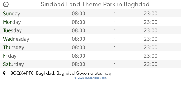
Sindbad Land Theme Park
8CQX+PF8, Baghdad
Amusement park
Point of interest
Establishment
read more
1.011 km
Haider Market
شارع فلسطين, Baghdad
Supermarket
Grocery or supermarket
Store
Food
Point of interest
Establishment
read more
1.231 km
The energy police directorate
8CQM+W5C, شارع فلسطين, Baghdad
Police
Point of interest
Establishment
read more
1.877 km
النواب
9F63+2W2, Baghdad
Local government office
Courthouse
Point of interest
Establishment
read more
1.904 km
BOB ATM
9C3F+GPF
Atm
Finance
Point of interest
Establishment
read more
📑
all categories
Accounting
Airport
Amusement park
Aquarium
Art gallery
Atm
Bakery
Bank
Bar
Beauty salon
Bicycle store
Book store
Bowling alley
Bus station
Cafe
Campground
Car dealer
Car rental
Car repair
Car wash
Casino
Cemetery
Church
City hall
Clothing store
Convenience store
Courthouse
Dentist
Department store
Doctor
Electrician
Electronics store
Embassy
Establishment
Finance
Fire station
Florist
Food
Funeral home
Furniture store
Gas station
General contractor
Grocery or supermarket
Gym
Hair care
Hardware store
Health
Hindu Temple
Home goods store
Hospital
Insurance agency
Jewelry store
Laundry
Lawyer
Library
Liquor store
Local government office
Locality
Locksmith
Lodging
Meal delivery
Meal takeaway
Mosque
Movie theater
Moving company
Museum
Neighborhood
Night club
Painter
Park
Parking
Pet store
Pharmacy
Physiotherapist
Place of worship
Plumber
Point of interest
Police
Political
Post office
Premise
Real estate agency
Restaurant
Roofing contractor
Route
Rv park, camping
School
Shoe store
Shopping mall
Spa
Stadium
Storage
Store
Sublocality
Supermarket
Synagogue
Taxi stand
Train station
Transit station
Travel agency
University
Veterinary care
Zoo
sublocality level 1
↑