Point of interest nearby Kadhimiyah Train Station
Iraq
Point of interest nearby Kadhimiyah Train Station
Kadhimiyah Train Station
Dabbash, Baghdad, Baghdad Governorate, Iraq
contacts phone
:
+964
Latitude:
33.3777115
, Longitude:
44.3181503
larger map & directions
read more
nearest Point of interest
616 m
مصرف الرافدين-فرع المحيط
98M8+6G6, Baghdad
Bank
Finance
Point of interest
Establishment
read more
623 m
مركز صحي الزهراء لصحة الأسرة
98M8+7PP, Baghdad
Hospital
Health
Point of interest
Establishment
read more
642 m
عيادة الكرخ البيطرية فرع الكاظمية
98M9+8VQ, 60 Street, Baghdad
Pet store
Point of interest
Store
Establishment
read more
642 m
Nahrain University - College of Pharmacy
60 Street, Baghdad
University
Point of interest
Establishment
read more
707 m
كلية الحقوق جامعة النهرين
شارع 60، Baghdad, Baghdad
University
Point of interest
Establishment
read more
805 m
كوفي العجس
شارع الحسينية, بغداد
Night club
Point of interest
Establishment
read more
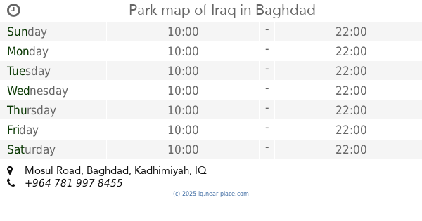
845 m
Park map of Iraq
98CF+VQC, Mosul Road, Baghdad
Park
Point of interest
Establishment
read more
870 m
Directorate of Traffic (مديرية مرور الكاظمية)
98P8+5QM, الكاظمية, Baghdad
Police
Point of interest
Establishment
read more
881 m
Kindergarten Rod Jasmine
جكوك, Baghdad
School
Point of interest
Establishment
read more
1.121 km
عيادة المعاون الطبي ابو علي
98MH+4CM, Uruba Street, Baghdad
Spa
Health
Point of interest
Establishment
read more
1.412 km
اربيّع
988G+VMQ, Baghdad
City hall
Local government office
Point of interest
Establishment
read more
1.684 km
محلات السبطين
Baghdad
Bicycle store
Point of interest
Store
Establishment
read more
1.714 km
عبد سمك
9883+XPW, الحرية الثالثة
Meal takeaway
Restaurant
Food
Point of interest
Establishment
read more
1.841 km
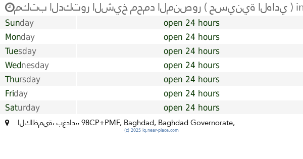
مكتب الدكتور الشيخ محمد المنصور ( حسينية الهادي )
98CP+PMF, الكاظمية، بغداد،, Baghdad
Campground
Lodging
Park
Point of interest
Establishment
read more
2.599 km
Kadhimiya department of civil status
986Q+C4X, شارع المشاط, Baghdad
Local government office
Point of interest
Establishment
read more
📑
all categories
Accounting
Airport
Amusement park
Aquarium
Art gallery
Atm
Bakery
Bank
Bar
Beauty salon
Bicycle store
Book store
Bowling alley
Bus station
Cafe
Campground
Car dealer
Car rental
Car repair
Car wash
Casino
Cemetery
Church
City hall
Clothing store
Convenience store
Courthouse
Dentist
Department store
Doctor
Electrician
Electronics store
Embassy
Establishment
Finance
Fire station
Florist
Food
Funeral home
Furniture store
Gas station
General contractor
Grocery or supermarket
Gym
Hair care
Hardware store
Health
Hindu Temple
Home goods store
Hospital
Insurance agency
Jewelry store
Laundry
Lawyer
Library
Liquor store
Local government office
Locality
Locksmith
Lodging
Meal delivery
Meal takeaway
Mosque
Movie theater
Moving company
Museum
Neighborhood
Night club
Painter
Park
Parking
Pet store
Pharmacy
Physiotherapist
Place of worship
Plumber
Point of interest
Police
Political
Post office
Premise
Real estate agency
Restaurant
Roofing contractor
Route
Rv park, camping
School
Shoe store
Shopping mall
Spa
Stadium
Storage
Store
Sublocality
Supermarket
Synagogue
Taxi stand
Train station
Transit station
Travel agency
University
Veterinary care
Zoo
sublocality level 1
↑