Point of interest nearby Associate Medical Abu Elias Aharichaoui
Iraq
Point of interest nearby Associate Medical Abu Elias Aharichaoui
Associate Medical Abu Elias Aharichaoui
CC4P+CQM, Baghdad, Baghdad Governorate, Iraq
contacts phone
:
+964 772 288 7187
Latitude:
33.4060803
, Longitude:
44.4369077
larger map & directions
read more
nearest Point of interest
772 m
بركر مزاج
حي الكوفه, بغداد
Meal takeaway
Restaurant
Food
Point of interest
Establishment
read more
813 m
مكتب كوكل لخدمات الحاسبات
مكتب كوكل لخدمات الانترنيت, والحاسباتUnnamed Road, بغداد
Electronics store
Store
Point of interest
Establishment
read more
902 m
سماچ غالي كلش
CC3G+PVH, Baghdad
Meal takeaway
Restaurant
Point of interest
Food
Establishment
read more
984 m
محل حمودي الساعدي للمواد الأحتياطية للدراجات والتكتك
9CWP+VRW, Baghdad
Bicycle store
Point of interest
Store
Establishment
read more
1.037 km
بيت أمحمد عاتي المرياني
CC5X+465, Baghdad
Campground
Lodging
Park
Point of interest
Establishment
read more
1.125 km
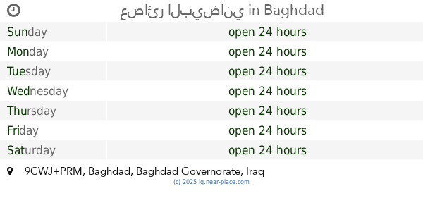
عصائر البيضاني
9CWJ+PRM, Baghdad
Night club
Point of interest
Establishment
read more
1.249 km
افران الگيارة
9CWQ+6C2, الكيارة بغداد سوق الكيارة, Baghdad
Bakery
Point of interest
Store
Food
Establishment
read more
1.462 km
Ali Younis Accessories
Baghdad
Shopping mall
Point of interest
Establishment
read more
1.566 km
عباس ابو اذانات
CC5C+52V, Baghdad
Synagogue
Place of worship
Point of interest
Establishment
read more
1.828 km
Ammar bin Yasir Mosque
CC79+FQG, حي, Baghdad
Mosque
Place of worship
Point of interest
Establishment
read more
1.908 km
Aber Al-Alam for Smart Phones
CC29+522, Baghdad
Electronics store
Store
Point of interest
Establishment
read more
1.98 km
حسن الياباني😉
CC89+9QC, Baghdad
Bicycle store
Store
Point of interest
Establishment
read more
2.027 km
مركز الريتاج للموبايلات
9CRF+Q6P, Unnamed Road, Baghdad
Rv park, camping
Lodging
Point of interest
Establishment
read more
2.57 km
مركز النور للموبايل
CCC8+WV7, Baghdad
Electronics store
Store
Point of interest
Establishment
read more
2.656 km
Civil defense people
38 شارع المقداد الكندي, الشعب
Fire station
Point of interest
Establishment
read more
📑
all categories
Accounting
Airport
Amusement park
Aquarium
Art gallery
Atm
Bakery
Bank
Bar
Beauty salon
Bicycle store
Book store
Bowling alley
Bus station
Cafe
Campground
Car dealer
Car rental
Car repair
Car wash
Casino
Cemetery
Church
City hall
Clothing store
Convenience store
Courthouse
Dentist
Department store
Doctor
Electrician
Electronics store
Embassy
Establishment
Finance
Fire station
Florist
Food
Funeral home
Furniture store
Gas station
General contractor
Grocery or supermarket
Gym
Hair care
Hardware store
Health
Hindu Temple
Home goods store
Hospital
Insurance agency
Jewelry store
Laundry
Lawyer
Library
Liquor store
Local government office
Locality
Locksmith
Lodging
Meal delivery
Meal takeaway
Mosque
Movie theater
Moving company
Museum
Neighborhood
Night club
Painter
Park
Parking
Pet store
Pharmacy
Physiotherapist
Place of worship
Plumber
Point of interest
Police
Political
Post office
Premise
Real estate agency
Restaurant
Roofing contractor
Route
Rv park, camping
School
Shoe store
Shopping mall
Spa
Stadium
Storage
Store
Sublocality
Supermarket
Synagogue
Taxi stand
Train station
Transit station
Travel agency
University
Veterinary care
Zoo
sublocality level 1
↑