Lodging nearby ساحة الصرافية لكراج ومبيت السيارات
Iraq
Lodging nearby ساحة الصرافية لكراج ومبيت السيارات
ساحة الصرافية لكراج ومبيت السيارات
993J+XGM, Baghdad, Baghdad Governorate, Iraq
contacts phone
:
+964
Latitude:
33.3550763
, Longitude:
44.3817579
larger map & directions
read more
nearest Lodging
1.738 km
قبرالمرحومه صابرين خلف
992X+FW5, Baghdad
Campground
Lodging
Park
Point of interest
Establishment
read more
1.785 km
كراج حيفا للسيارات
89RF+7M6, Haifa Street, Baghdad
Rv park, camping
Lodging
Point of interest
Establishment
read more
2.579 km
بيت احمد تاكيشي
9C93+PFR, Falastin Street, Baghdad
Campground
Park
Lodging
Point of interest
Establishment
read more
2.659 km
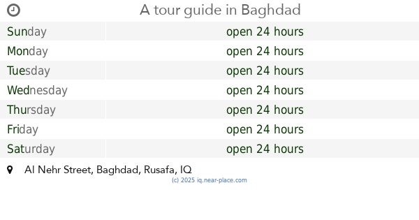
A tour guide
89MW+RHH, Al Nehr Street, Baghdad
Campground
Lodging
Park
Point of interest
Establishment
read more
2.806 km
عكد الكبي
8CQ3+386, Kifah, Baghdad
Campground
Lodging
Park
Point of interest
Establishment
read more
3.355 km
Hijry Hotel
986W+6FQ, Al Kadhim Street, Baghdad
Lodging
Point of interest
Establishment
read more
3.421 km
Camp Melody
9CC6+XV5, Baghdad
Campground
Park
Lodging
Point of interest
Establishment
read more
3.5 km
ابو عبدالعزيز
89M2+PVF, Baghdad
Campground
Lodging
Park
Point of interest
Establishment
read more
4.581 km
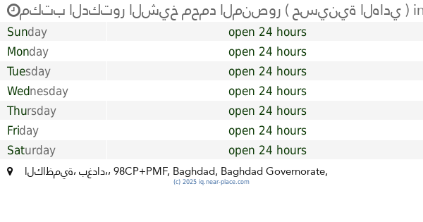
مكتب الدكتور الشيخ محمد المنصور ( حسينية الهادي )
98CP+PMF, الكاظمية، بغداد،, Baghdad
Campground
Lodging
Park
Point of interest
Establishment
read more
4.619 km
Dijlat Al Khair Hotel
Saadoun Street, Baghdad
Lodging
Point of interest
Establishment
read more
4.66 km
دار ابو فهد
8988+4C4, Baghdad
Lodging
Point of interest
Establishment
read more
4.66 km
سكن سامر الكرادي
8988+4C4, Baghdad
Lodging
Point of interest
Establishment
read more
4.663 km
كراج العمده
8988+3CW, Baghdad
Lodging
Point of interest
Establishment
read more
4.663 km
ابو كوثر
Baghdad
Lodging
Point of interest
Establishment
read more
6.069 km
كراج الاقصى
8C9J+82X, مقابل مستشفى الواسطي للكسور بالقرب من مستشفى العلوية للولادة نزلة جسر ملعب الشعب،, Baghdad
Rv park, camping
Lodging
Point of interest
Establishment
read more
📑
all categories
Accounting
Airport
Amusement park
Aquarium
Art gallery
Atm
Bakery
Bank
Bar
Beauty salon
Bicycle store
Book store
Bowling alley
Bus station
Cafe
Campground
Car dealer
Car rental
Car repair
Car wash
Casino
Cemetery
Church
City hall
Clothing store
Convenience store
Courthouse
Dentist
Department store
Doctor
Electrician
Electronics store
Embassy
Establishment
Finance
Fire station
Florist
Food
Funeral home
Furniture store
Gas station
General contractor
Grocery or supermarket
Gym
Hair care
Hardware store
Health
Hindu Temple
Home goods store
Hospital
Insurance agency
Jewelry store
Laundry
Lawyer
Library
Liquor store
Local government office
Locality
Locksmith
Lodging
Meal delivery
Meal takeaway
Mosque
Movie theater
Moving company
Museum
Neighborhood
Night club
Painter
Park
Parking
Pet store
Pharmacy
Physiotherapist
Place of worship
Plumber
Point of interest
Police
Political
Post office
Premise
Real estate agency
Restaurant
Roofing contractor
Route
Rv park, camping
School
Shoe store
Shopping mall
Spa
Stadium
Storage
Store
Sublocality
Supermarket
Synagogue
Taxi stand
Train station
Transit station
Travel agency
University
Veterinary care
Zoo
sublocality level 1
↑