Hospital nearby دائرة المعاقين القديمة
Iraq
Hospital nearby دائرة المعاقين القديمة
دائرة المعاقين القديمة
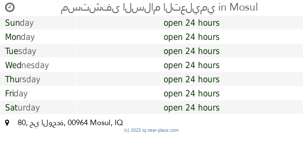
80, Mosul, IQ Iraq
contacts phone
:
+964
Latitude:
36.3243024
, Longitude:
43.1852996
larger map & directions
read more
nearest Hospital
149 m
Mosul Center for Cardiology and Cardiac Surgery
85GP+2MJ, Unnamed Road, Mosul
Hospital
Point of interest
Health
Establishment
read more
149 m
سەنتەری موسل بۆ نەشتەرگەری و دل
85GP+2MJ, Unnamed Road, Mosul
Hospital
Point of interest
Health
Establishment
read more
176 m
قسم الطوارئ
85FP+XJ3, 80, Mosul
Hospital
Health
Point of interest
Establishment
read more
182 m
مستشفى السلام التعليمي
80 حي الوحدة, Mosul
Hospital
Health
Point of interest
Establishment
read more
198 m
استشارية مستشفى السلام دوام صباحي
85FP+XJ3, 80, Mosul
Hospital
Point of interest
Health
Establishment
read more
1.946 km
مجمع نيتروجين الطبي
85M8+9PV, Mosul
Hospital
Health
Point of interest
Establishment
read more
1.947 km
مجمع الحميدي
85M8+MWH, 80, Mosul
Hospital
Health
Point of interest
Establishment
read more
1.947 km
مجمع مديكا الطبي
85M8+9PV, Mosul
Hospital
Health
Point of interest
Establishment
read more
1.988 km
مجمع الضياء الطبيي
85M8+JPG, Mosul
Hospital
Health
Point of interest
Establishment
read more
1.993 km
صيدلية الاستقلال
85M8+JPG, Mosul
Hospital
Point of interest
Health
Establishment
read more
2.038 km
مجمع دليل الحياة
85M8+VG5, Mosul
Hospital
Health
Point of interest
Establishment
read more
2.05 km
مجمع بروتون
85M8+VG5, Mosul
Hospital
Health
Point of interest
Establishment
read more
2.19 km
عياده دكتوره انعام قرب تقاطع الجسر الرابع
85P8+64F, Mosul
Hospital
Health
Point of interest
Establishment
read more
2.235 km
مركز ابن الهيثم للعيون
85Q8+5RJ, Mosul
Hospital
Health
Point of interest
Establishment
read more
3.165 km
مستشفى المدينة الأهلي الاطباء- Al-Madina Private Hospital
المالية الموصل, الغربية
Hospital
Health
Point of interest
Establishment
read more
📑
all categories
Accounting
Airport
Amusement park
Aquarium
Art gallery
Atm
Bakery
Bank
Bar
Beauty salon
Bicycle store
Book store
Bowling alley
Bus station
Cafe
Campground
Car dealer
Car rental
Car repair
Car wash
Casino
Cemetery
Church
City hall
Clothing store
Convenience store
Courthouse
Dentist
Department store
Doctor
Electrician
Electronics store
Embassy
Establishment
Finance
Fire station
Florist
Food
Funeral home
Furniture store
Gas station
General contractor
Grocery or supermarket
Gym
Hair care
Hardware store
Health
Hindu Temple
Home goods store
Hospital
Insurance agency
Jewelry store
Laundry
Lawyer
Library
Liquor store
Local government office
Locality
Locksmith
Lodging
Meal delivery
Meal takeaway
Mosque
Movie theater
Moving company
Museum
Neighborhood
Night club
Painter
Park
Parking
Pet store
Pharmacy
Physiotherapist
Place of worship
Plumber
Point of interest
Police
Political
Post office
Premise
Real estate agency
Restaurant
Roofing contractor
Route
Rv park, camping
School
Shoe store
Shopping mall
Spa
Stadium
Storage
Store
Sublocality
Supermarket
Synagogue
Taxi stand
Train station
Transit station
Travel agency
University
Veterinary care
Zoo
sublocality level 1
↑