Health nearby عياده الزينه البيطريه
Iraq
Health nearby عياده الزينه البيطريه
عياده الزينه البيطريه
78VJ+HQM, Baghdad, Baghdad Governorate, Iraq
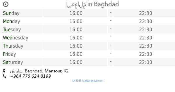
contacts phone
:
+964
Latitude:
33.2939651
, Longitude:
44.3319668
larger map & directions
read more
nearest Health
102 m
Barber Rose Queen Asadat
78VJ+QCV, Unnamed Road, بغداد
Hair care
Point of interest
Health
Establishment
read more
316 m
Olives Mountain Pharmacy
78WM+CPC, اليرموك - الاربع شوارع - شارع جامع الشواف, Baghdad
Pharmacy
Health
Point of interest
Store
Establishment
read more
507 m
قاعة كولدن جم اليرموك
78XM+5RR, شارع الأردن, Baghdad
Gym
Health
Point of interest
Establishment
read more
1.012 km
LUNA by WOLF
616 Yarmuk Street, Baghdad
Gym
Point of interest
Health
Establishment
read more
1.013 km
Pharmacy Corner Yarmouk
883P+32P, Baghdad
Pharmacy
Health
Point of interest
Store
Establishment
read more
1.032 km
المعالج
4, شوارع, Baghdad
Physiotherapist
Health
Point of interest
Establishment
read more
1.401 km
AMH Nutrition Company
Al Kuwait Building, Urdun Street, Baghdad
Gym
Point of interest
Health
Establishment
read more
1.711 km
مركز حجامة الرحمة
883W+2VH, اليرموك، بغداد،, Baghdad
Physiotherapist
Health
Point of interest
Establishment
read more
1.946 km
titans gym
79R3+G3M, Jinub Street, Baghdad
Gym
Point of interest
Health
Establishment
read more
2.186 km
The Tower
8923+V8V, شارع اليرموك, بغداد
Dentist
Health
Point of interest
Establishment
read more
2.206 km
ايرون جم IRON GYM
المامون, ايرون جيم, شارع البرج, Baghdad
Gym
Point of interest
Health
Store
Establishment
read more
2.3 km
عيادة الدكتور رامال البرزنجي
8933+Q85, Kirkuk
Dentist
Health
Point of interest
Establishment
read more
2.327 km
Health center
8942+QJW, Amirat Street, Baghdad
Gym
Point of interest
Health
Establishment
read more
2.343 km
Amirat Belding
8942+RM9, Amirat Street, Baghdad
Gym
Point of interest
Health
Establishment
read more
2.541 km
عيادة.د.عقيل نجم محي
886X+GVW, Baghdad
Dentist
Health
Point of interest
Establishment
read more
📑
all categories
Accounting
Airport
Amusement park
Aquarium
Art gallery
Atm
Bakery
Bank
Bar
Beauty salon
Bicycle store
Book store
Bowling alley
Bus station
Cafe
Campground
Car dealer
Car rental
Car repair
Car wash
Casino
Cemetery
Church
City hall
Clothing store
Convenience store
Courthouse
Dentist
Department store
Doctor
Electrician
Electronics store
Embassy
Establishment
Finance
Fire station
Florist
Food
Funeral home
Furniture store
Gas station
General contractor
Grocery or supermarket
Gym
Hair care
Hardware store
Health
Hindu Temple
Home goods store
Hospital
Insurance agency
Jewelry store
Laundry
Lawyer
Library
Liquor store
Local government office
Locality
Locksmith
Lodging
Meal delivery
Meal takeaway
Mosque
Movie theater
Moving company
Museum
Neighborhood
Night club
Painter
Park
Parking
Pet store
Pharmacy
Physiotherapist
Place of worship
Plumber
Point of interest
Police
Political
Post office
Premise
Real estate agency
Restaurant
Roofing contractor
Route
Rv park, camping
School
Shoe store
Shopping mall
Spa
Stadium
Storage
Store
Sublocality
Supermarket
Synagogue
Taxi stand
Train station
Transit station
Travel agency
University
Veterinary care
Zoo
sublocality level 1
↑