Finance nearby المصرف الوطني الاسلامي
Iraq
Finance nearby المصرف الوطني الاسلامي
المصرف الوطني الاسلامي
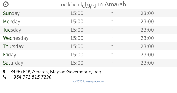
R4JR+7WW, Amarah, Maysan Governorate, Iraq
contacts phone
:
+964
Latitude:
31.8307394
, Longitude:
47.1423302
larger map & directions
read more
nearest Finance
344 m
مصرف بابل
R4MR+GM2, Amarah
Bank
Finance
Point of interest
Establishment
read more
424 m
بريد الاسكان
R4MR+RW9
Post office
Finance
Point of interest
Establishment
read more
787 m
مكتب الساعي للتوصيل السريع فرع ميسان
R4PP+CP6, شارع الفرقه, العمارة
Post office
Finance
Point of interest
Establishment
read more
923 m
مصرف الخليج التجاري
قرب جسر الشهداء, العمارة
Atm
Finance
Point of interest
Establishment
read more
931 m
مصرف الرشيد فرع الوفاء
R5G2+J9J, شارع المصرف, Amarah
Bank
Finance
Point of interest
Establishment
read more
1.247 km
IDB مصرف التنمية الدولي
R4RR+QPG, Amarah
Bank
Finance
Point of interest
Establishment
read more
1.284 km
مصرف الاتحاد العراقي
6, Amarah
Bank
Finance
Point of interest
Establishment
read more
1.298 km
Post office
R5Q2+FX7, Amarah
Post office
Finance
Point of interest
Establishment
read more
1.352 km
دائره رعاية القاصرين
R4VV+53M, 6, Amarah
Post office
Finance
Point of interest
Establishment
read more
1.355 km
Rasheed Bank
فرع الكرامة, العمارة
Bank
Finance
Point of interest
Establishment
read more
1.505 km
Local Post Department
R4VX+4QP, Dijla Street, Amarah
Post office
Finance
Point of interest
Establishment
read more
1.671 km
برج شركة زين عراق
R5H7+25P, Amarah
Post office
Finance
Point of interest
Establishment
read more
1.918 km
Retired Maysan circle
R4XV+54X, 6, Amarah
Bank
Finance
Point of interest
Establishment
read more
2.068 km
Rafidain Bank
R5X2+63P, Amarah
Bank
Finance
Point of interest
Establishment
read more
2.277 km
مكتب القمر
R49F+F4P, Amarah
Post office
Finance
Point of interest
Establishment
read more
📑
all categories
Accounting
Airport
Amusement park
Aquarium
Art gallery
Atm
Bakery
Bank
Bar
Beauty salon
Bicycle store
Book store
Bowling alley
Bus station
Cafe
Campground
Car dealer
Car rental
Car repair
Car wash
Casino
Cemetery
Church
City hall
Clothing store
Convenience store
Courthouse
Dentist
Department store
Doctor
Electrician
Electronics store
Embassy
Establishment
Finance
Fire station
Florist
Food
Funeral home
Furniture store
Gas station
General contractor
Grocery or supermarket
Gym
Hair care
Hardware store
Health
Hindu Temple
Home goods store
Hospital
Insurance agency
Jewelry store
Laundry
Lawyer
Library
Liquor store
Local government office
Locality
Locksmith
Lodging
Meal delivery
Meal takeaway
Mosque
Movie theater
Moving company
Museum
Neighborhood
Night club
Painter
Park
Parking
Pet store
Pharmacy
Physiotherapist
Place of worship
Plumber
Point of interest
Police
Political
Post office
Premise
Real estate agency
Restaurant
Roofing contractor
Route
Rv park, camping
School
Shoe store
Shopping mall
Spa
Stadium
Storage
Store
Sublocality
Supermarket
Synagogue
Taxi stand
Train station
Transit station
Travel agency
University
Veterinary care
Zoo
sublocality level 1
↑