Point of interest nearby Moon Hotel
Iraq
Point of interest nearby Moon Hotel
Moon Hotel
شارع الشهداء، قرب, 56001, Karbala', Karbala, IQ Iraq
contacts phone
:
+964 773 761 7675
website:
www.facebook.com
Latitude:
32.6164617
, Longitude:
44.0262217
larger map & directions
read more
nearest Point of interest
32 m
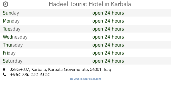
Hadeel Tourist Hotel
J28G+JJ7, Karbala
Lodging
Point of interest
Establishment
read more
207 m
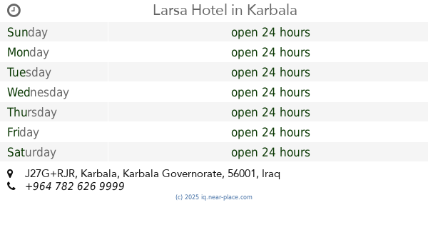
Larsa Hotel
J27G+RJR, Karbala
Lodging
Point of interest
Establishment
read more
327 m
Al-Baron Restaurant
Karbala
Restaurant
Food
Point of interest
Establishment
read more
481 m
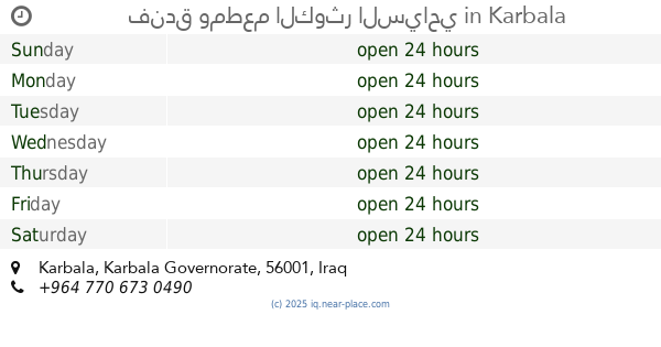
فندق ومطعم الكوثر السياحي
Karbala
Lodging
Point of interest
Establishment
read more
661 m
مستوصف
J26H+FRX, شارع القبلة, Karbala'
Hospital
Health
Point of interest
Establishment
read more
667 m
Al Taif Hotel Karbala
J29M+477, Karbala
Lodging
Point of interest
Establishment
read more
690 m
Dar Al Salam Bank
J27M+93W, Karbala
Bank
Finance
Point of interest
Establishment
read more
760 m
صراف . منفذ الدار . دولار
J2CM+639, Karbala
Atm
Finance
Point of interest
Establishment
read more
812 m
مركز الرعاية الصحية في العباسية الغربية
Unnamed Rd,, Karbala 56001
Hospital
Health
Point of interest
Establishment
read more
827 m
عيادة الدكتور رائد الخفاجي
J27M+CP2, شارع الجمهورية, Karbala'
Dentist
Point of interest
Health
Establishment
read more
899 m
Karbala Post Office
J26M+WQX, Karbala
Post office
Finance
Point of interest
Establishment
read more
949 m
كوفي شوب ومقهئ شيخ الجبل
شارع القبله لمركزيه مقابل المكتبه كربلاء ٦٦
Cafe
Store
Point of interest
Food
Establishment
read more
963 m
مركز الكفيل 120
J25H+56J, Karbala
Supermarket
Grocery or supermarket
Store
Food
Point of interest
Establishment
read more
963 m
Adur Almusfa Hotel
J2CM+JR8, Karbala
Lodging
Point of interest
Establishment
read more
1.065 km
Hotel Alam Dar
J2CP+4M6, Unnamed Road،, Karbala'
Lodging
Point of interest
Establishment
read more
📑
all categories
Accounting
Airport
Amusement park
Aquarium
Art gallery
Atm
Bakery
Bank
Bar
Beauty salon
Bicycle store
Book store
Bowling alley
Bus station
Cafe
Campground
Car dealer
Car rental
Car repair
Car wash
Casino
Cemetery
Church
City hall
Clothing store
Convenience store
Courthouse
Dentist
Department store
Doctor
Electrician
Electronics store
Embassy
Establishment
Finance
Fire station
Florist
Food
Funeral home
Furniture store
Gas station
General contractor
Grocery or supermarket
Gym
Hair care
Hardware store
Health
Hindu Temple
Home goods store
Hospital
Insurance agency
Jewelry store
Laundry
Lawyer
Library
Liquor store
Local government office
Locality
Locksmith
Lodging
Meal delivery
Meal takeaway
Mosque
Movie theater
Moving company
Museum
Neighborhood
Night club
Painter
Park
Parking
Pet store
Pharmacy
Physiotherapist
Place of worship
Plumber
Point of interest
Police
Political
Post office
Premise
Real estate agency
Restaurant
Roofing contractor
Route
Rv park, camping
School
Shoe store
Shopping mall
Spa
Stadium
Storage
Store
Sublocality
Supermarket
Synagogue
Taxi stand
Train station
Transit station
Travel agency
University
Veterinary care
Zoo
sublocality level 1
↑