Hospital nearby مختبر تحليلات مرضيه
Iraq
Hospital nearby مختبر تحليلات مرضيه
مختبر تحليلات مرضيه
XWRP+XH6, Al Diwaniyah, Al-Qādisiyyah Governorate, Iraq
contacts phone
:
+964
Latitude:
31.9924247
, Longitude:
44.9363964
larger map & directions
read more
nearest Hospital
284 m
المركز الصحي في حي الوحدة
XWVQ+R6F, Al Diwaniyah
Hospital
Health
Point of interest
Establishment
read more
944 m
مركز الصدري الصحي
XWPJ+57G, Al Diwaniyah
Hospital
Health
Point of interest
Establishment
read more
1.228 km
المركز الصحي في الجديدة
XWMG+VV6, Al Diwaniyah
Hospital
Health
Point of interest
Establishment
read more
1.264 km
Dental Specialized Center
XWMG+WHM, Al Diwaniyah
Hospital
Health
Point of interest
Establishment
read more
1.357 km
المستشفى الاسترالي
XWJJ+F8C, Al Diwaniyah
Hospital
Point of interest
Health
Establishment
read more
1.44 km
مركز قسطرة القلب والشرايين
XWJH+7XH, Al Diwaniyah
Hospital
Point of interest
Health
Establishment
read more
1.633 km
حجامة الحاج احمد دهش
XWHP+5PC, Al Diwaniyah
Hospital
Health
Point of interest
Establishment
read more
1.76 km
مركز الحروق التخصصي
XWHH+5C8, Al Diwaniyah
Hospital
Health
Point of interest
Establishment
read more
1.771 km
مركز امراض القلب
XWHH+5CG, Al Diwaniyah
Hospital
Health
Point of interest
Establishment
read more
1.775 km
وحدة البكتريا
XWHH+685, Al Diwaniyah
Hospital
Health
Point of interest
Establishment
read more
1.787 km
Shifa Private Hospital
XWMC+79C, شارع الاطباء, Ad Diwaniyah
Hospital
Health
Point of interest
Establishment
read more
1.823 km
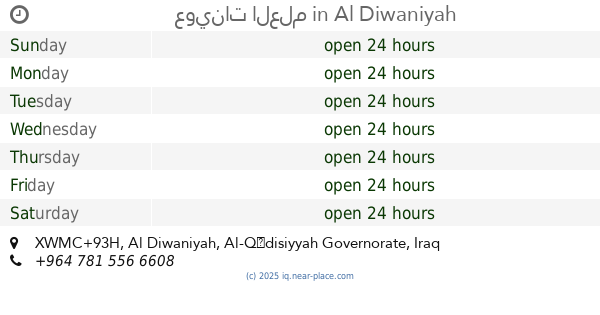
عوينات العلم
XWMC+93H, Al Diwaniyah
Hospital
Health
Point of interest
Establishment
read more
2.008 km
مركز الديوانية التشخيصي
XWM9+39V, شارع الثورة, Ad Diwaniyah
Hospital
Health
Point of interest
Establishment
read more
2.089 km
مركز علاج الامراض بالنحل
XWM8+6V5, Al Diwaniyah
Hospital
Health
Point of interest
Establishment
read more
2.501 km
مستشفى بغداد الاهلي
2W48+R77, Al Diwaniyah
Hospital
Health
Point of interest
Establishment
read more
📑
all categories
Accounting
Airport
Amusement park
Aquarium
Art gallery
Atm
Bakery
Bank
Bar
Beauty salon
Bicycle store
Book store
Bowling alley
Bus station
Cafe
Campground
Car dealer
Car rental
Car repair
Car wash
Casino
Cemetery
Church
City hall
Clothing store
Convenience store
Courthouse
Dentist
Department store
Doctor
Electrician
Electronics store
Embassy
Establishment
Finance
Fire station
Florist
Food
Funeral home
Furniture store
Gas station
General contractor
Grocery or supermarket
Gym
Hair care
Hardware store
Health
Hindu Temple
Home goods store
Hospital
Insurance agency
Jewelry store
Laundry
Lawyer
Library
Liquor store
Local government office
Locality
Locksmith
Lodging
Meal delivery
Meal takeaway
Mosque
Movie theater
Moving company
Museum
Neighborhood
Night club
Painter
Park
Parking
Pet store
Pharmacy
Physiotherapist
Place of worship
Plumber
Point of interest
Police
Political
Post office
Premise
Real estate agency
Restaurant
Roofing contractor
Route
Rv park, camping
School
Shoe store
Shopping mall
Spa
Stadium
Storage
Store
Sublocality
Supermarket
Synagogue
Taxi stand
Train station
Transit station
Travel agency
University
Veterinary care
Zoo
sublocality level 1
↑